Mapping products and services

Mapping technology offers you the potential to visualize your market like never before. Mapping creates geographic pictures of your loans and deposits as well as competitor loans and deposits and branch locations. These “data pictures” allow you to see and understand your markets like never before.

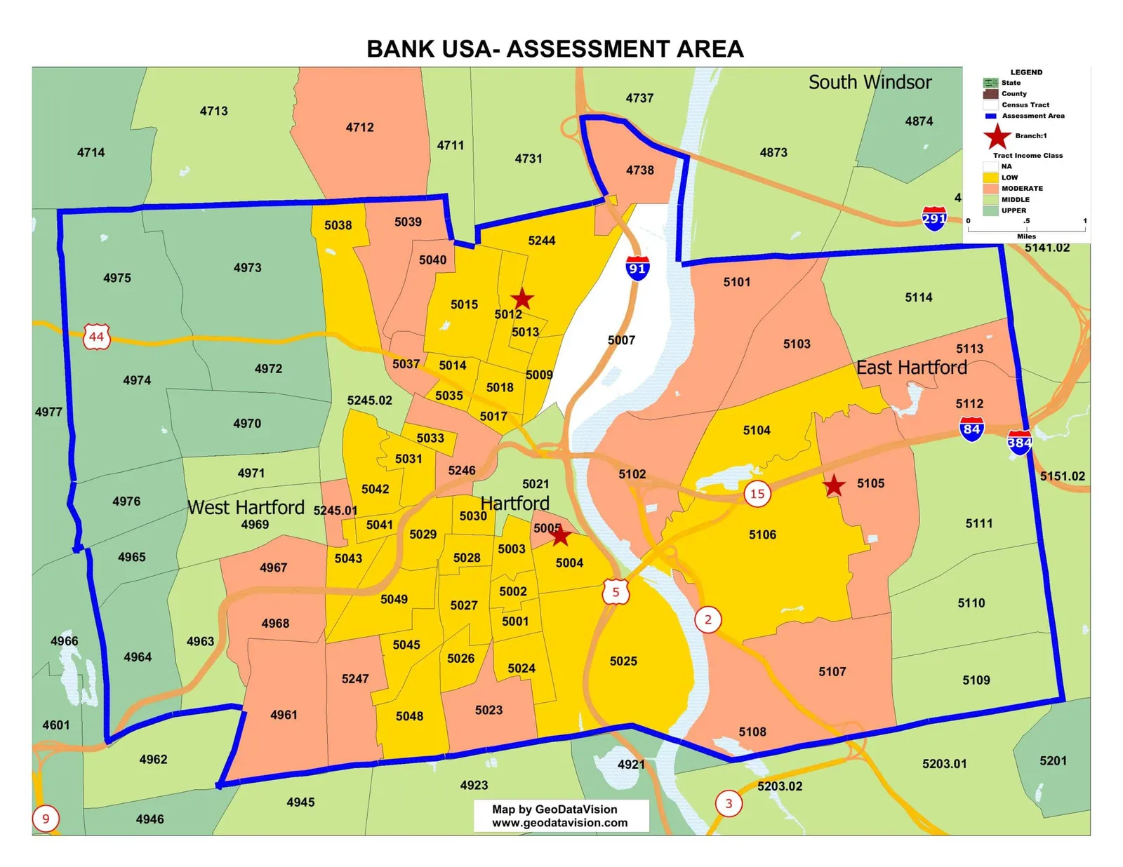
Sample assessment area map with tracts by income class

Assessment Area Maps

Assessment Area (AA) maps include the delineation of your Assessment Area boundaries, key towns and cities, major roads, census tract income classifications (color-coded) and branches. The map meets all regulatory standards for your CRA Public File.
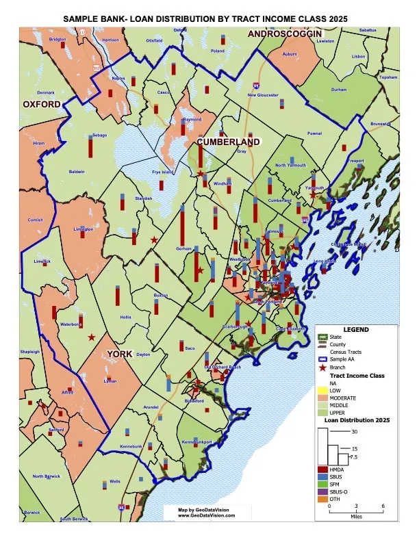
Sample loan distribution map, loans located by census tract

Loan Distribution Maps

Depict your bank’s lending in and around your Assessment Area. “Single theme” and “double theme” maps display your lending activity (dollars and units) to reveal the geographic dispersion of your small business and mortgage lending.

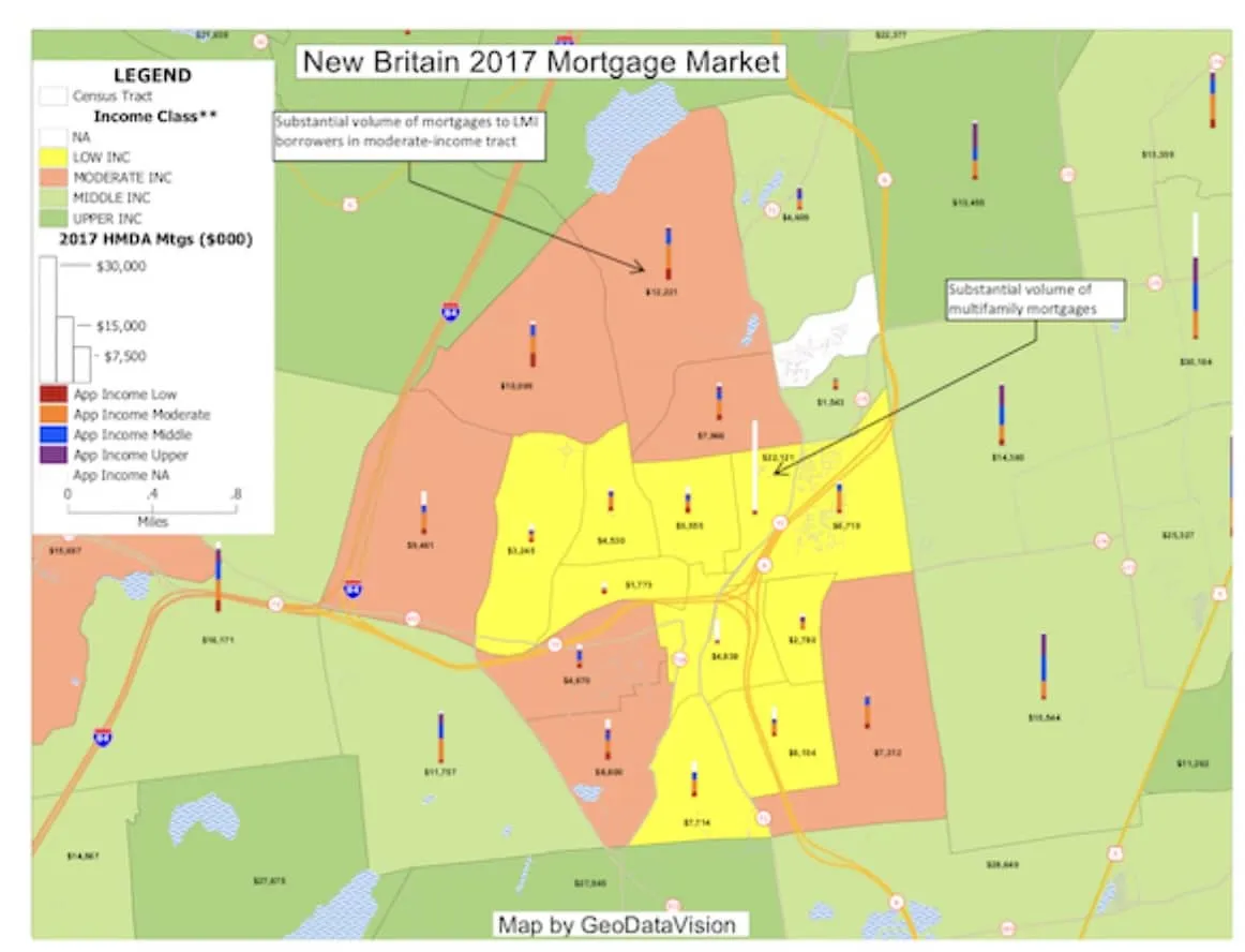
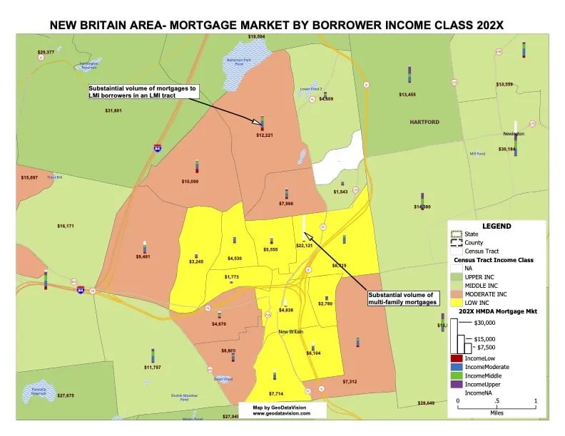
Sample mortgage market data map

Market Data Maps

GeoDataVision creates maps of geographic areas (bank AA, county, etc.) and displays the market data (Small Business or HMDA) in units and dollars. The maps provide a geographic image of local mortgage and small business loan markets.

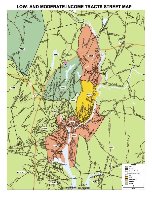
Sample census tract street map of low- and moderate-income tracts

Census Tract Street Maps

These maps show the streets and boundaries of any census tracts in your community, with a color theme that depicts the income classification of tracts according to the latest FFIEC bulletins.

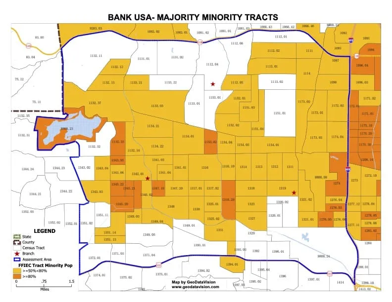
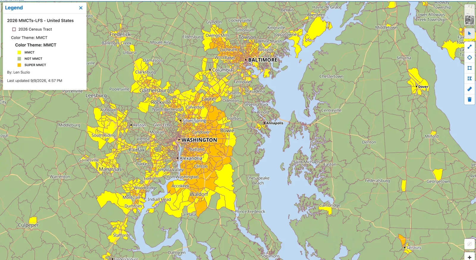
Sample majority-minority demographic map

Demographic Maps

We can capture demographics, such as Minority Populations, and display them in layered screen colors for visual analysis of their location and size.

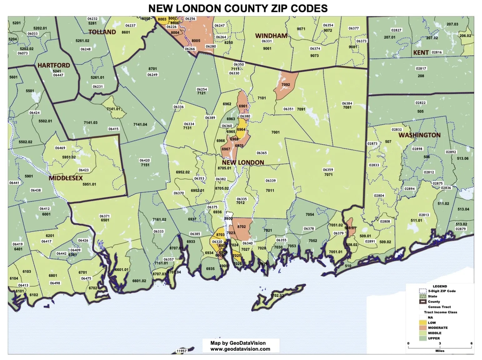
Sample zip code map

Zip Code Maps

Another use of AA Maps is to overlay zip code boundaries on them along with zip code numbers, for identifying their location in proximity to tracts, towns, counties, etc.

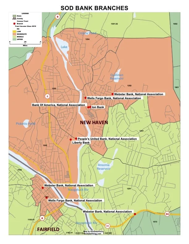
Sample map of branches and deposits from the Summary of Deposits

Deposit Maps

Maps of deposits and depository branches included in the annual Summary of Deposits (SOD) data released by the FDIC.

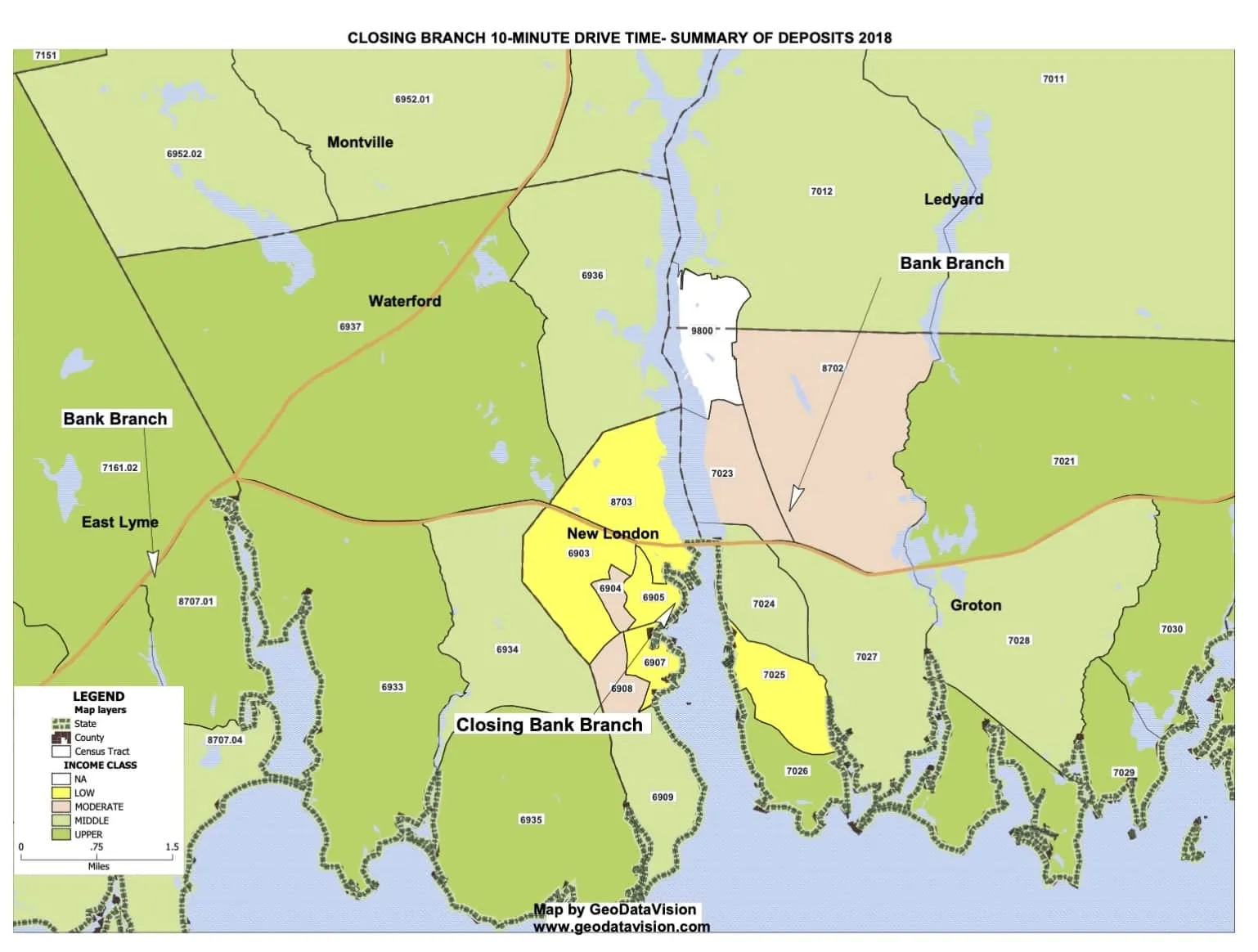
Sample branch closing analysis map

Branch Closing Analysis Maps

Maps for analyzing the variables that determine the effects of a branch closing on the local market, including demographics and other depository branches.

A live mapping session on screen

“Live Interactive” Mapping Analysis

A unique GeoDataVision service: a GeoDataVision professional manipulates live maps containing your market data during a GoTo Meeting session. No mapping skills are required for you to take advantage of it.

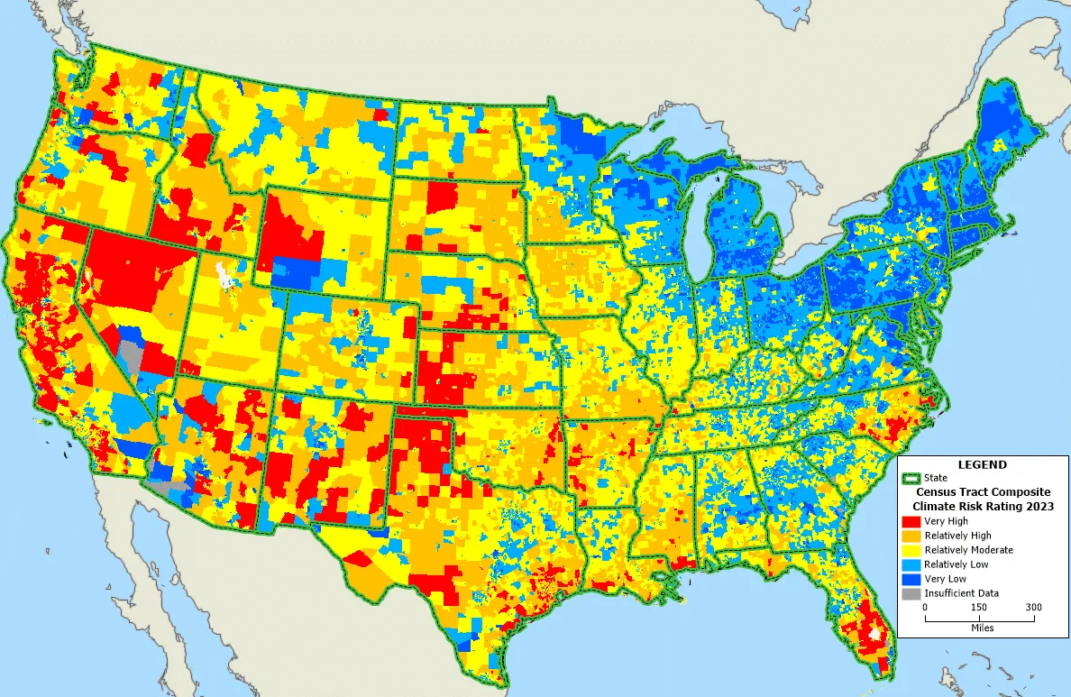
Sample United States composite climate risk rating map

Climate Risk Map Demo

Sample climate-related risk maps and tables: composite risk ratings by census tract, regional flooding and hurricane risk, and ratings for branches and loan portfolios.

GeoDataVision online majority-minority census tract map

Free interactive maps

GeoDataVision provides these maps to the public free of charge: majority-minority census tracts, MSAs, census tract income classes and climate-related risk.

Contact one of our trusted, professional advisors for your institution.

(203) 907-7497