Free interactive maps
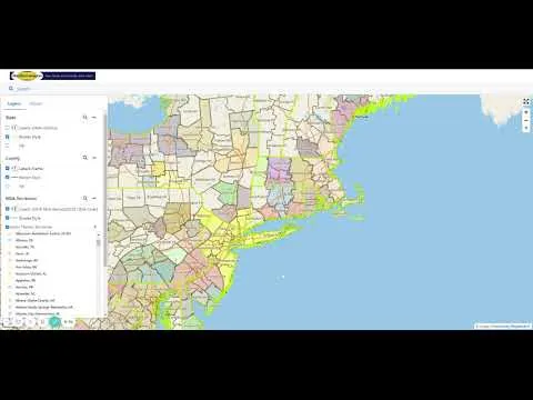
GeoDataVision provides these maps to the public free of charge. Many include historical information and may not reflect the most current data available.
GeoDataVision (GDV) provides these maps to the public free of charge; users assume full responsibility and risk associated with their use. GDV is not responsible or liable for any inaccuracies in geocoding, errors in the maps, or misuse of the provided data. Many of these maps include historical information and may not reflect the most current data available.
Explore the maps
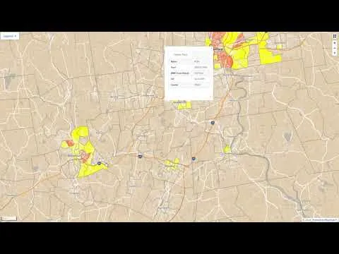
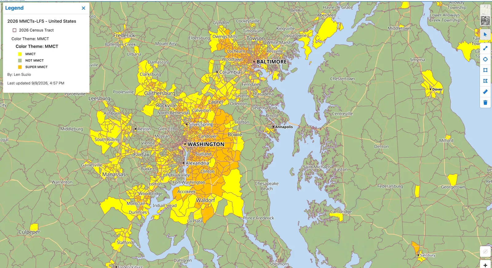
- 2026 Majority-Minority Census Tract Map
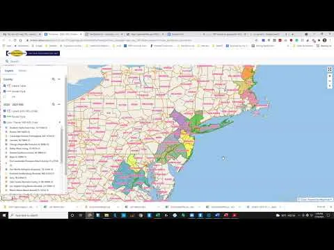
- 2023 MSA Map
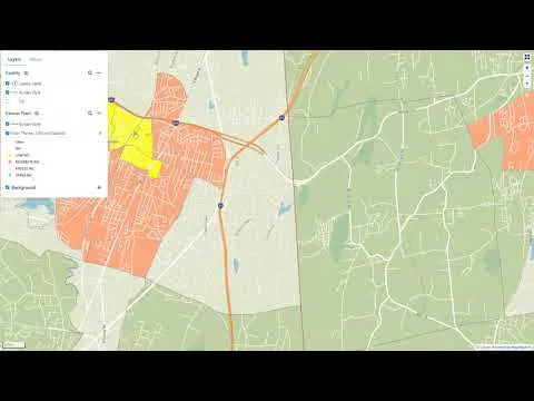
- 2022 Census Tract Income Class Map
- 2021 Majority-Minority Census Tract Map
- 2021 Census Tract Income Class Map
- 2020 Metropolitan Divisions in the United States
- Climate-Related Risk: Expected Annual Loss Rating 12-31-2021
- Climate-Related Risk: Vulnerability Rating 12-31-2021
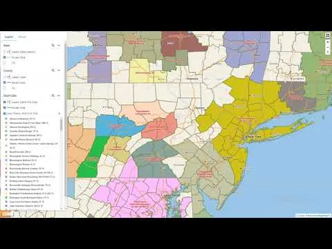
- 2020 CSA Map
- 2020 MSA Map
Map videos