CRA Assessment Area Maps
As required by CRA Regulation §_.41, your public file must include a map reflecting the current census tracts. When new tract income classes are released, every bank must update its public file maps. Get your regulatory-grade AA map from GeoDataVision.
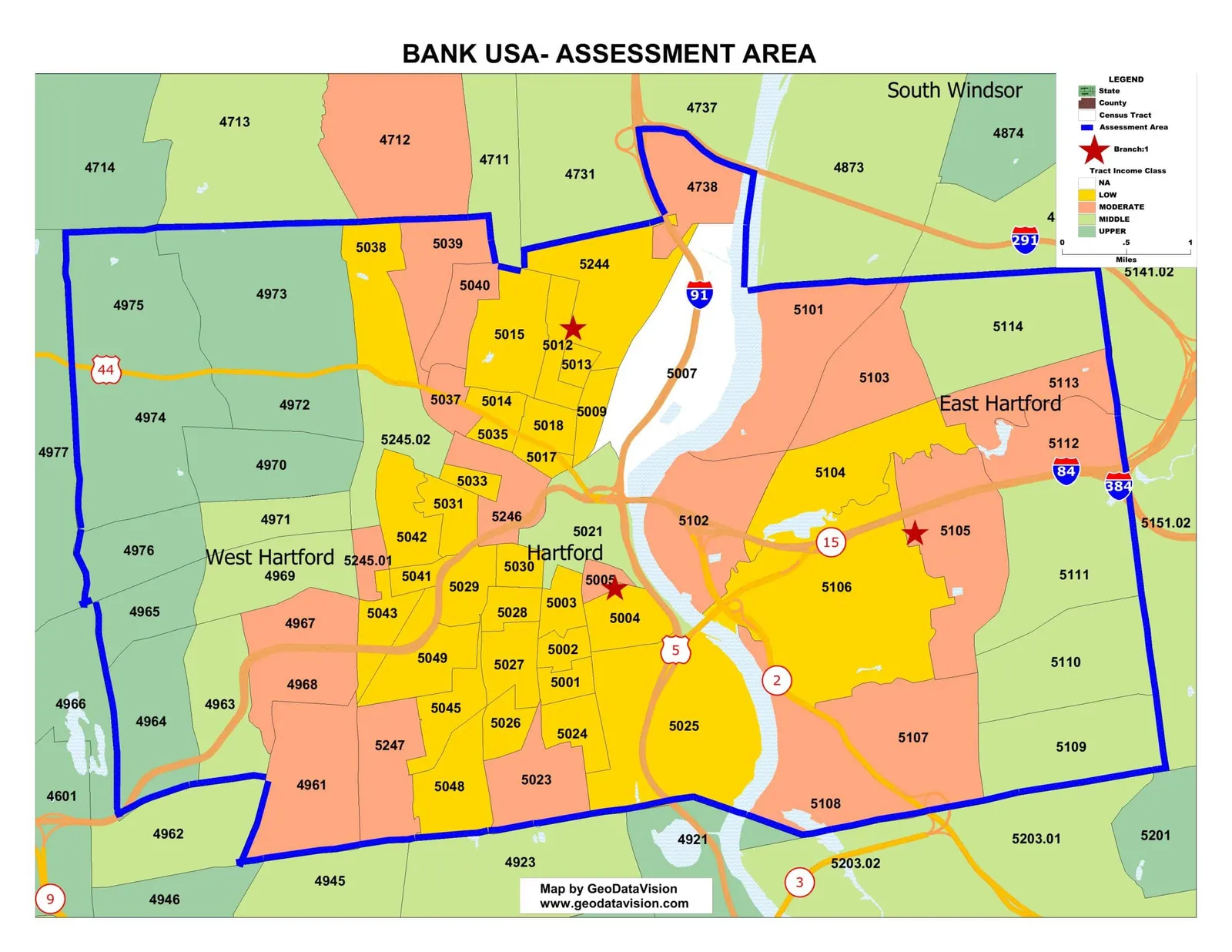
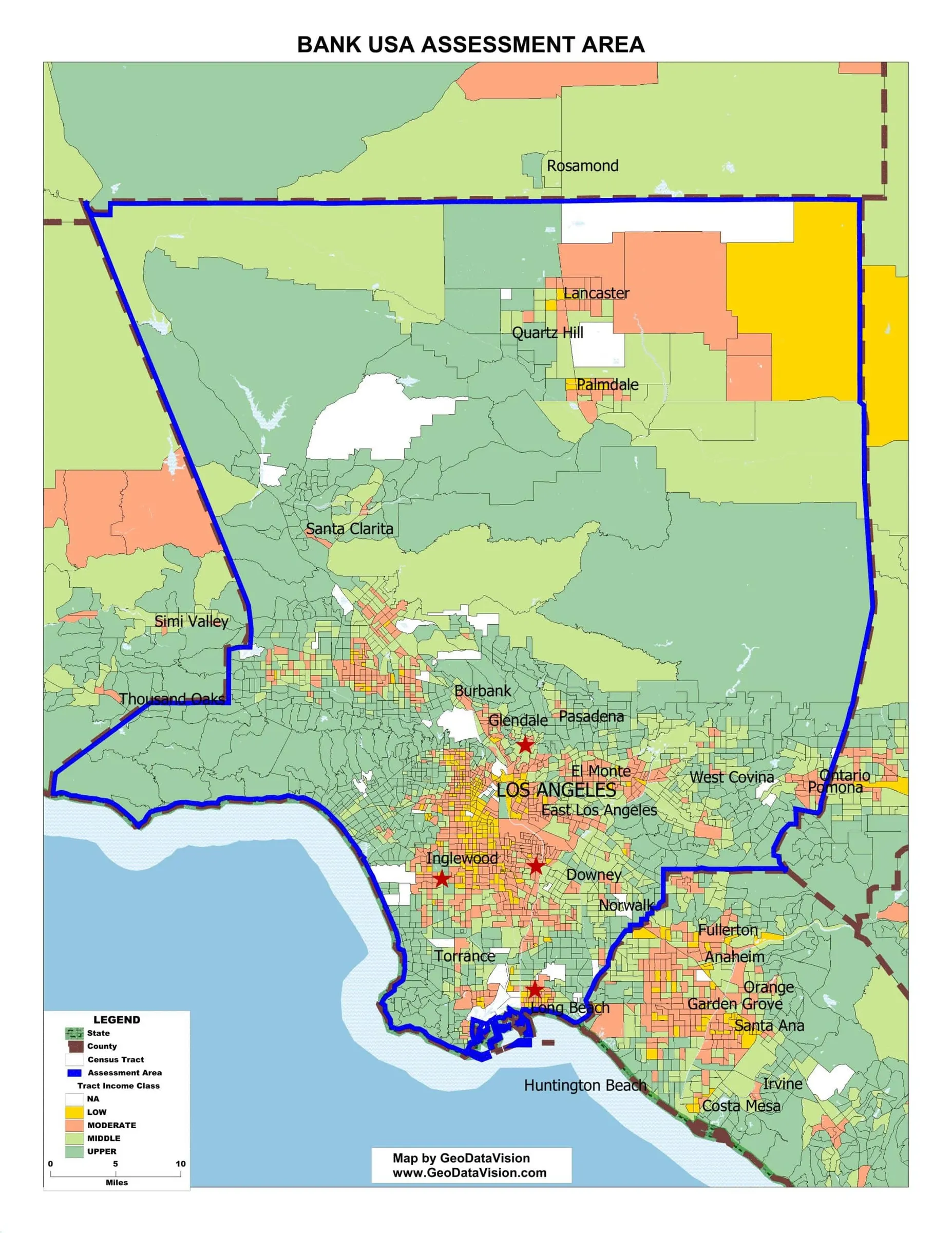
This component includes a map delineating your Assessment Area boundaries, depicting key towns and cities and revealing census tract income classes by color themes that distinguish Upper, Middle, Moderate and Low-income tracts. The map meets all regulatory standards.
What you receive
You'll receive the following with your assessment area map order. Discounts apply to multiple assessment areas.
- A regulatory-grade CRA Assessment Area Map
- An Excel list of the census tracts, their income classifications, and minority status
- A free tract comparison table: compare the old and new census tracts in your assessment areas, including the tract income classifications and tract minority status
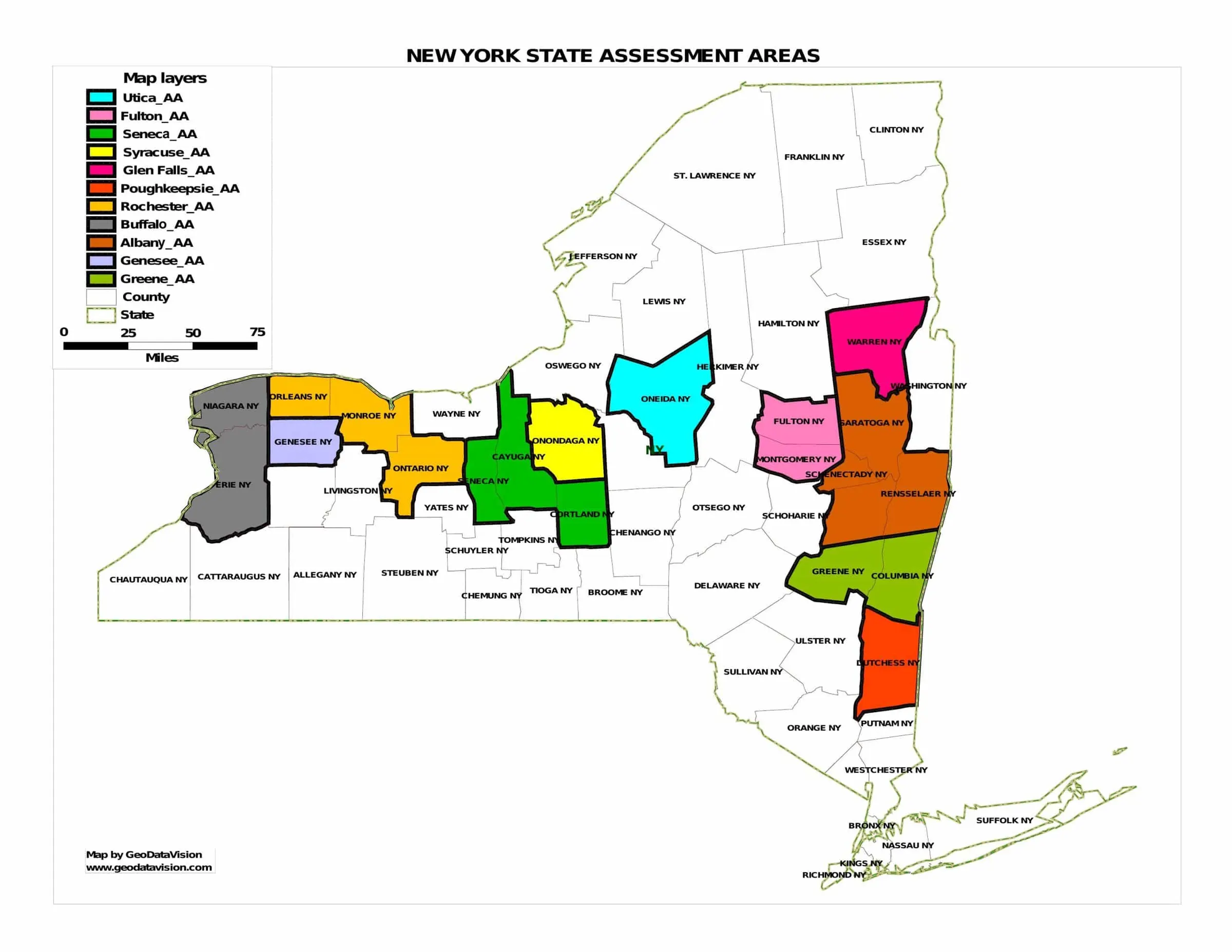
Sample maps
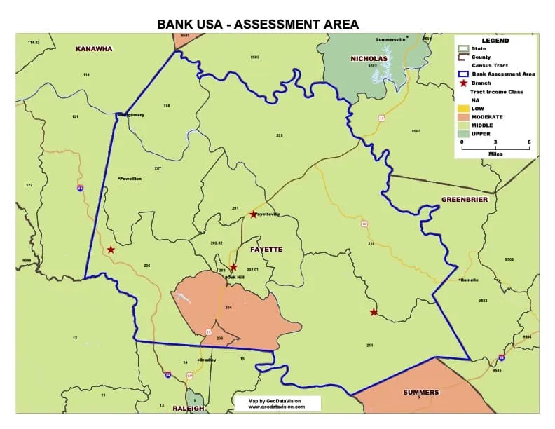
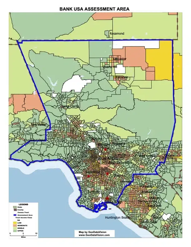
Interactive sample map
Explore a sample assessment area map of the United States: sample bank branches, the assessment area, states, counties and census tracts colored by income class.